Marta Magdalena to Punta Gallinas
Punta Gallinas, Colombia
Distance
450 km
Duration
Multi Day
Elevation
↑4138m / ↓4147m
Difficulty
hard
About this route
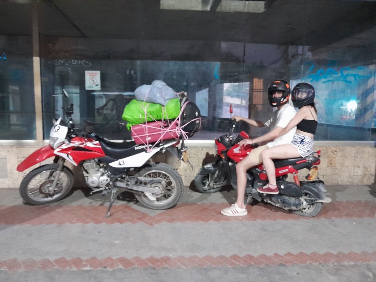
We rented 2 motorcycles in the city of Marta Magdalena, The road starts in an amazing jungle and sea view and after a few days the view turns into a desert. On the third day of the ride in the evening after few minutes I didn't notice my friends I turned around and found them lying on the road covered in blood, it turns out the front tire had blown out. We managed to fix it and get to Cabo, a famous and beautiful kitesurfing town with sea and desert views. There I left the injured couple and decided to ride alone to the northernmost point of South America. Locals advised me not to ride because there are no trails at all, only dunes and cacti, so navigation is almost impossible. It just made me want to ride. I arrived after about 6 hours, spent 10 minutes there admiring the pink dunes and then had to turn back to catch the sun and get back before dark. On the way back, I was robbed by a local gang and they wouldn't let me go until they gave me my change back, decent robbers nonetheless.
Surface Breakdown
Starting Point
North Colombia
12.4597, -71.6747
No GPS track has been uploaded for this route yet.
Highlights
Long-press to save to places
Tags
Hazards